Fort Mojave Indian Tribe
Fort Mojave Indian Tribe
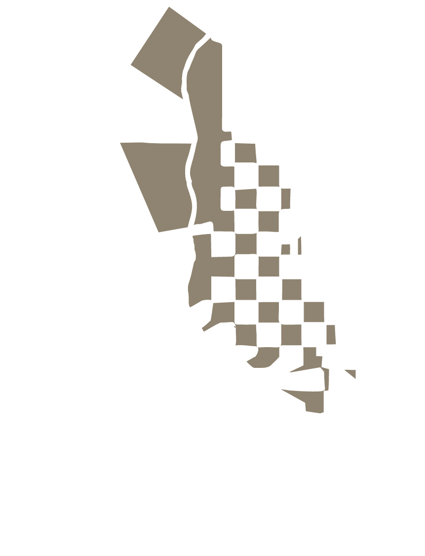
The 32,000-acre Fort Mojave Indian Reservation lies at the juncture of Arizona, California, and Nevada with land in all three states. The Fort Mojave Indian Tribe’s Tribal Headquarters is in Needles, California. The population of the Reservation as of 2012 is 1,657, most of whom live in four more or less equal-sized communities.
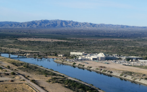
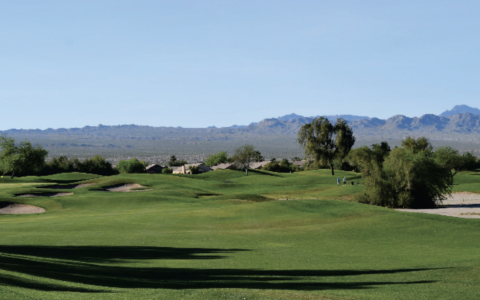
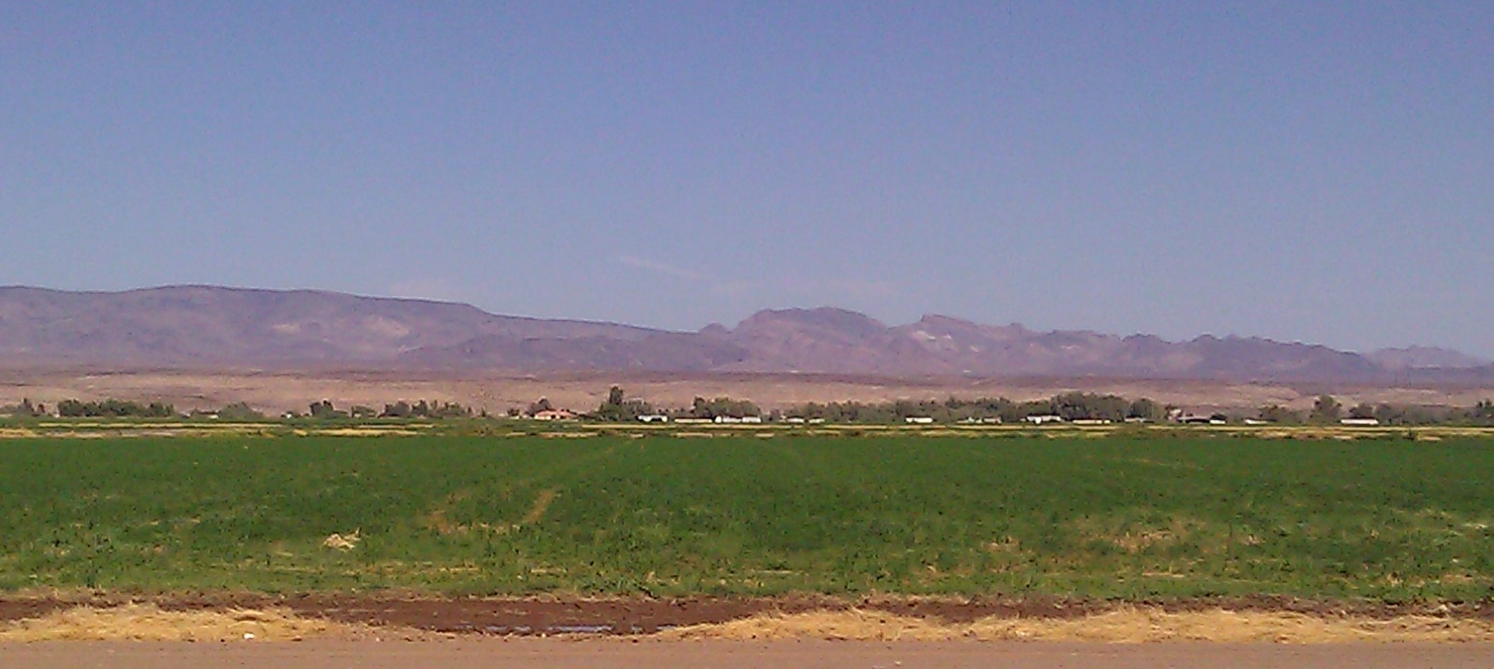
The Reservation lies in the first floodplain valley on the Lower Colorado River. The dominant feature of the area is the Colorado River and most of the Reservation is in the historic floodplain. The Valley is bounded on the east by the Black Mountains of Arizona, on the west by the Dead Mountains of California, on the north by the City of Bullhead City, Arizona, and on the south by the Havasu National Wildlife Refuge. The elevation ranges from 455 to 925 feet above sea level.
Historical and Cultural Use of Water
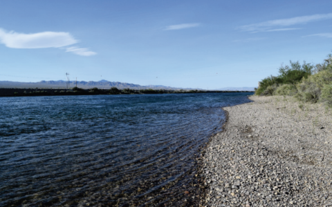
The Fort Mojave Indian Tribe made good use of the desert resources, but it was the Colorado River and its associated riparian zone that provided the food and shelter for what is thought to have been up to 30,000 people. The Colorado River originally was a wide and braided life-giving river. The River had many more times the bank line than exists now. The River would flood every spring with the snowmelt from the Rocky Mountains and slowly recede through the summer and fall. This allowed several plantings of crops such as corn, beans, squash, and melons.
In the recent past, cultural use of the River has been non-consumptive. The Tribe is planning to use a share of its decreed water right to restore backwaters and some shoreline to a semblance of their pre-dam condition.
Current Water Use and Operations
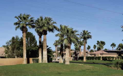
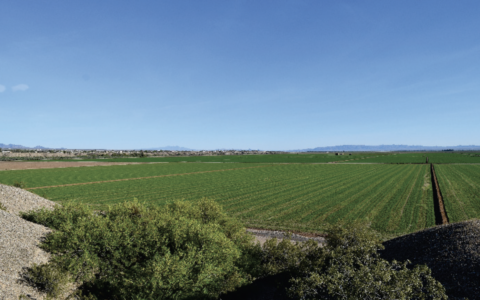
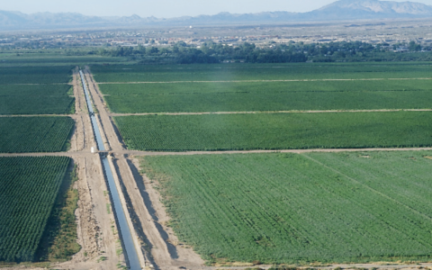
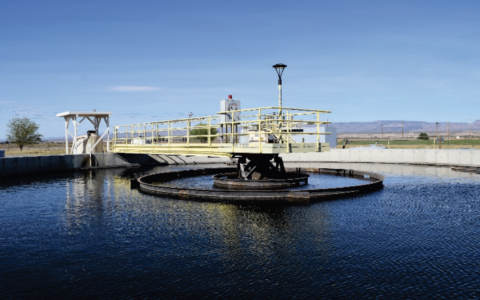
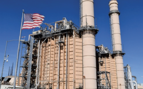
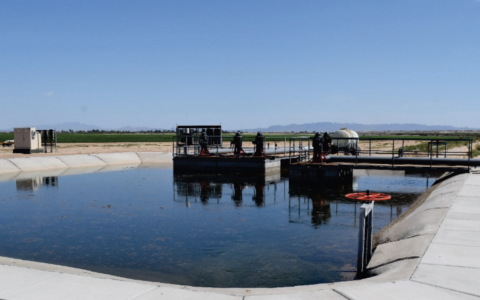
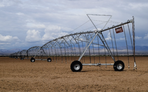
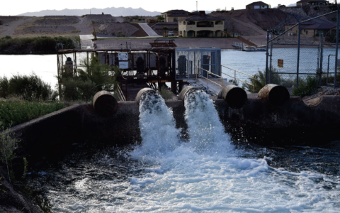
Currently water is used for agriculture, turf irrigation, domestic needs, and cooling water for a generating plant. Over 90 percent of the Tribe’s total diversion goes to irrigated agriculture pumped directly from the mainstream. There are no irrigation projects on the Reservation and these systems are owned, operated, and maintained by individual farms. Domestic water is pumped from wells.
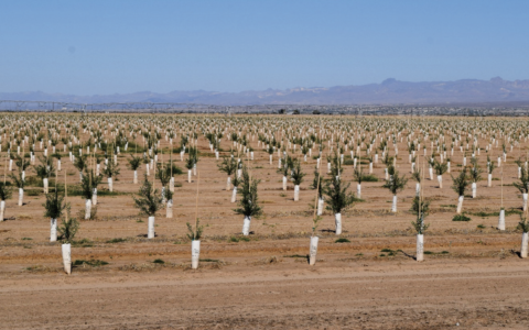
Approximately half of the Reservation is devoted to intensively farmed, irrigated agriculture and it is the largest consumer of water on the Reservation. The crops produced vary from year to year depending on market conditions, but upland cotton and alfalfa hay are the dominant crops. Olives, sudan, okra seed, wheat, barley, milo, grain hay, and other hays are also produced.
Presently, environmental use is confined to starter irrigation for revegetation projects on wildland fire burns. Cultural and recreational uses involve non-consumptive uses of the mainstream Colorado River such as boating, fishing, hunting and swimming.