Fort Yuma Quechan Indian Tribe
Quechan Indian Tribe
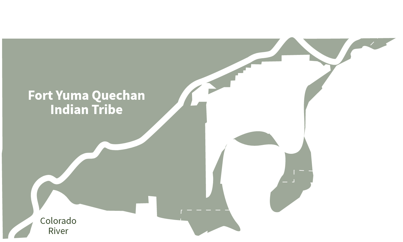
The Fort Yuma-Quechan Reservation is located along the Colorado River near Yuma, Arizona. Reservation lands encompass portions of Arizona and California, and share a border with Mexico’s Baja California. The Fort Yuma Indian Reservation encompasses 45,000 acres along the Colorado River in the southeastern corner of California and southwest corner of Arizona.
The Tribe’s headquarters are located on the old Fort Yuma grounds in California, along the Reservation’s southern boundary and directly across the Colorado River from the City of Yuma. The Reservation includes a portion of the ancestral home of the Quechan People. Their aboriginal villages were located in or near the Colorado River’s floodplain, which allowed annual floods to deposit rich soil from upriver. This ended with development of dams and diversions upstream from the Quechan homeland, which essentially cut off the historical flows to the area. The Quechan Tribe has approximately 4,000 members, roughly half of whom live on or adjacent to the Reservation.
Current Water Use and Operations
A significant portion of the Reservation is used for irrigated agriculture, with the Tribe and allottees leasing land to other farmers. In addition to farming, the Tribe utilizes gaming revenues, tourism, and related business to support its economy. Water for agricultural use on the Reservation is primarily diverted from the Colorado River at Imperial Dam and delivered through the Yuma Project Reservation Division-Indian Unit. Other agricultural lands on the Reservation are irrigated by water pumped directly from the Colorado River and from groundwater.
Water used for domestic purposes on the Reservation is pumped from groundwater. The Tribe has other small uses at homestead sites south of Yuma, Arizona.
First Tribal Water Rights Decrees and Challenges
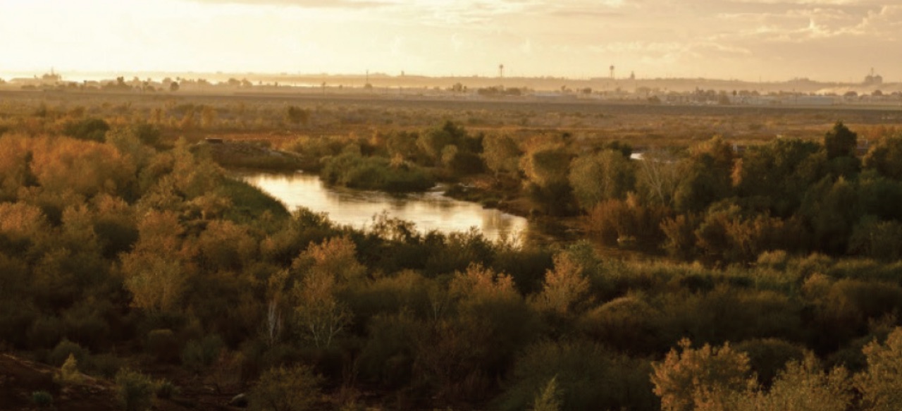
In 2004, habitat restoration activities began at the Yuma East Wetlands, located along the Colorado River near downtown Yuma, Arizona. The Tribe partnered with the City of Yuma, Yuma Crossing National Heritage Area, the Arizona Game and Fish Commission, and multiple federal and state agencies to restore 373 acres of habitat. Invasive salt cedar stands were cleared, backwater channels and shallow marshes were excavated, and native riparian and marsh vegetation were planted. As part of the project the Tribe was able to develop a cultural park on the reservation side of the river and the City of Yuma was able to develop a municipal park on its side of the river.
In 2013, the Lower Colorado River Multispecies Conservation Program entered into a partnership with the Tribe, City of Yuma, the Arizona Game and Fish Commission, and the Yuma Crossing National Heritage Area to support the long-term management of the Yuma East Wetlands. The Yuma East Wetlands is now a mosaic of different vegetation communities, including cottonwood willow, honey mesquite, and marsh. The project is located within the Pacific Flyway, a major migration route for hundreds of species of birds, including southwestern willow flycatcher, yellow-billed cuckoo, and Sonoran yellow warbler. Marsh birds, such as the endangered Yuma clapper rail and western least bittern, have colonized the created habitat. Other species, like the western red bat, western yellow bat, and Yuma hispid cotton rat have also been confirmed to be using the site’s restored cottonwood-willow land cover type.