Southern Ute Indian Tribe
Southern Ute Indian Tribe
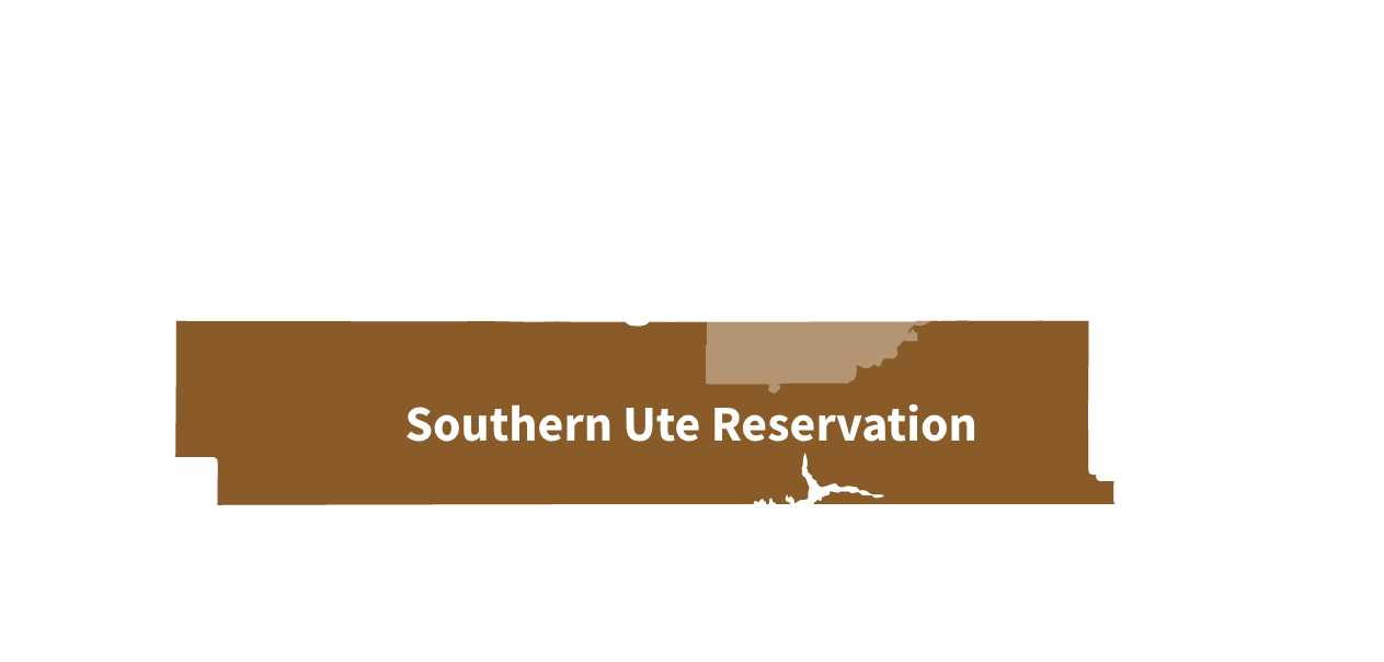
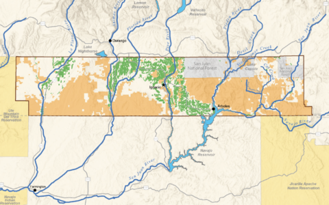
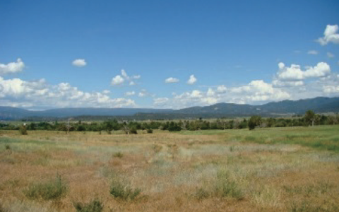
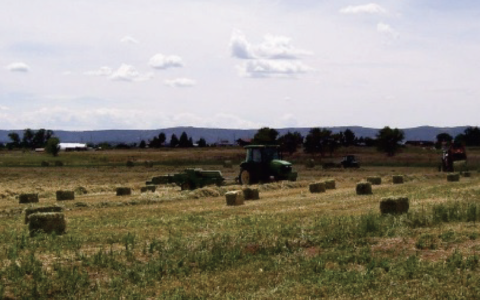
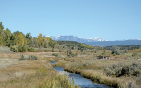
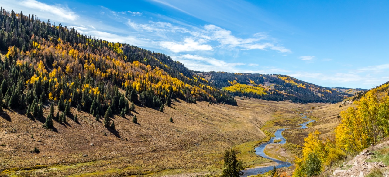
The original Southern Ute Indian Reservation was carved out of the historical Ute homelands in 1868. The present Reservation boundary, encompassing approximately 1,067 square miles, is located in the southwest portion of Colorado and shares a border with the Ute Mountain Ute Reservation to the west, the State of New Mexico to the south, and the Jicarilla Apache Nation Reservation to the southeast. The Reservation boundary is roughly 75 miles long and 15 miles wide, in which approximately 499 square miles are Tribal land, 472 square miles are private fee simple, and the remaining 96 square miles are federal lands. The Southern Ute Indian Tribe’s current enrollment is a little over 1,500 members. Approximately 1,000 Tribal members live within the exterior boundaries of the Reservation on both Tribal and private land with the majority living along the Pine River corridor.
Historical Use and Cultural Importance of Water
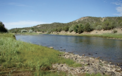
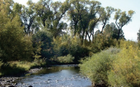
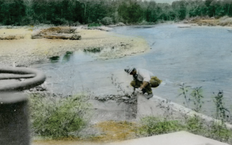
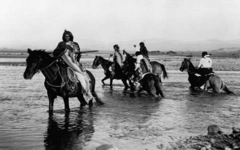
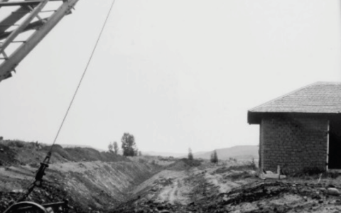
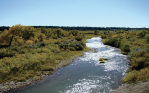
Prior to government interference, the Ute people were hunters and gatherers moving in small bands in the summer months while hunting and collecting food to preserve for the winter. Groups would camp along the rivers to take advantage of the game drawn to the water, the fish in the river, and to utilize the abundant cottonwoods and willows for shelter and shade. According to a Tribal Elder, water has always been a provider however the government’s focus on trying to make Utes into farmers brought a new aspect to their relationship with water. Water was still to be a provider, but it now would be manipulated and controlled. The signing of the 1868 Treaty created a reservation that encompassed roughly the western third of present day Colorado, including the vast watersheds of the Western Slope. Subsequent agreements and events in the 1870s and 1880s further reduced the Ute lands in Colorado, resulting in the relocation of the Northern Ute Bands to Utah and the Southern Ute Bands to a narrow strip along the New Mexico border in the southwestern portion of Colorado.
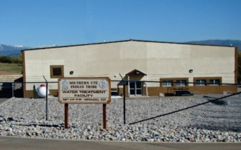
Water Supply and Colorado Consent Decrees
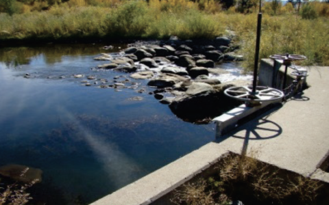
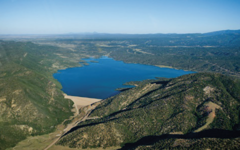
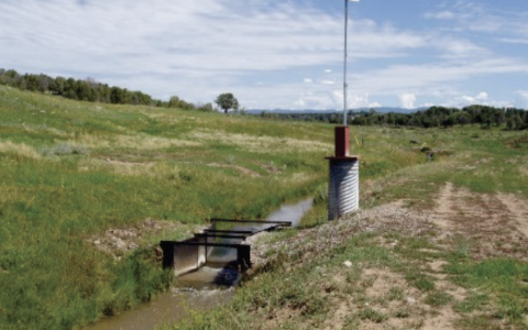
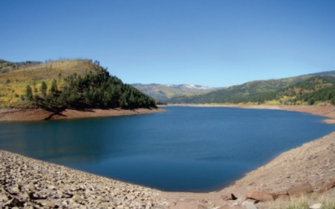
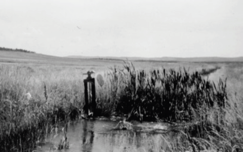
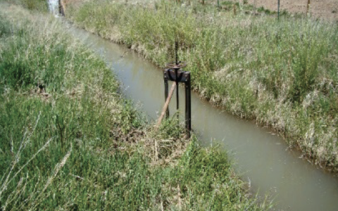
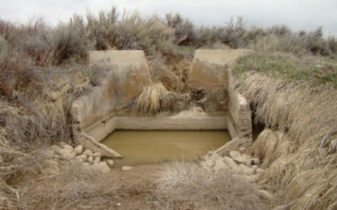
Since the Colorado Utes’ reserved water rights under the Winters Doctrine were senior to all other rights in the San Juan and Dolores Basins in Colorado, the resolution of these reserved water rights claims was critical to all water users in both basins in Colorado. The 1986 Settlement Agreement, signed on December 10, 1986, quantified the Southern Ute Indian Tribe’s water rights on several rivers and projects, including both direct diversion and storage rights.
Southern Ute Indian Tribe’s settlement-based reserved water rights are decreed by river basin or watershed, and include direct diversion and depletion-based surface water rights, Reservation-based storage rights, tributary groundwater rights, and allocations in three federal reservoir projects.